Map Collection
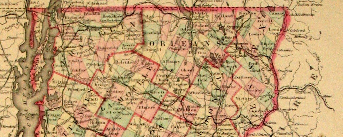
Among the maps at the Leahy Library are hand-drawn maps, some of the earliest maps of Vermont, Wallings county maps (1850s), Beers atlases (1870s), state highway maps, and tourist maps. The collection includes railroad maps, highway department county maps, U.S. Geological Survey topographic maps, and the Dewart Collection of copies of early town lotting plans. Most of the library’s maps are in the online catalog.
