Sanborn Fire Insurance Maps
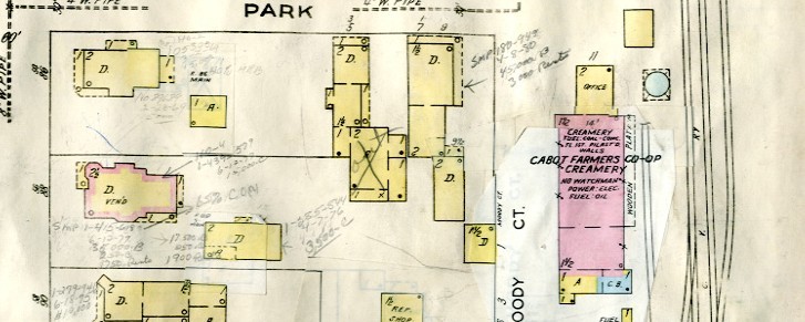
The Vermont Historical Society provides access to the ProQuest collection of digital Sanborn fire insurance maps from Vermont for the period 1867-ca. 1948 for its members. Sanborn maps show detailed footprints of buildings in settled areas of the state; they do not cover rural areas or indicate the names of residents.
This digital collection does not include all of the Sanborn maps for Vermont ever produced. The VHS's Leahy Library has a physical collection of Sanborn maps that includes towns and villages not documented in this commercial, online collection.
In addition, the Library of Congress has a collection of digital Sanborn Maps that are available for free.
The VHS Library has created a table that compares the holding of the VHS, ProQuest, and Library of Congress so researchers can determine where to find the map that they need.
These maps are viewable by our members. Please login with the members' only username and password to access the Sanborn Fire Maps. Need assistance logging in? Contact Daphne Kinney-Landis at daphne.kinney-landis@vermonthistory.org.
